Introduction
SCIMS (Survey Control Information Management System) Online provides access to the Geodetic, Metadata and imagery related to Control Survey Marks and a wealth of spatial (location based) information across the whole of NSW.
Key functions include the ability to:
- graphically select Survey Marks for the download of all data sets.
- navigate by searching on an address, Lot/DP number, suburb name, LGA, Point of Interest (POI), road intersection or survey mark.
- display the latest high resolution imagery and publication quality topographic maps.
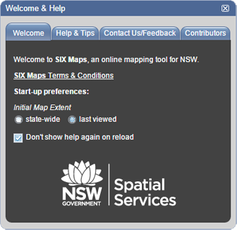
Upon start-up SCIMS Online will display the ‘Welcome & Help’ window. This window provides general information and allows the user to set the initial map extent, providing ‘state-wide’ or ‘last viewed’ options. (Tip – ‘last viewed’ must be selected before SCIMS Online is closed in order for the same extent to be available when SCIMS Online is logged into again).


